Satlas

(0 Reviews) Write a review

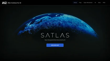
SATLAS is an AI tool developed by the Allen Institutd that enables users to explore and analyze geospatial data with super-resolution imagery. The tool uses state-of-the-art computer vision algorithms to enhance low resolution satellite imagery, producing high resolution images at a global scale.

In stock

Earn Cash Back For The Things You Buy Every Where

Application via Merto. Terms & Conditions.

Description

SATLAS is an AI tool developed by the Allen Institutd that enables users to explore and analyze geospatial data with super-resolution imagery. The tool uses state-of-the-art computer vision algorithms to enhance low resolution satellite imagery, producing high resolution images at a global scale.
Back to Top
Product has been added to your cart