
Description
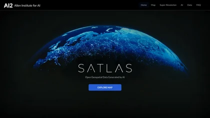
SATLAS is an AI tool developed by the Allen Institutd that enables users to explore and analyze geospatial data with super-resolution imagery. The tool uses state-of-the-art computer vision algorithms to enhance low resolution satellite imagery, producing high resolution images at a global scale.


There are no reviews yet.